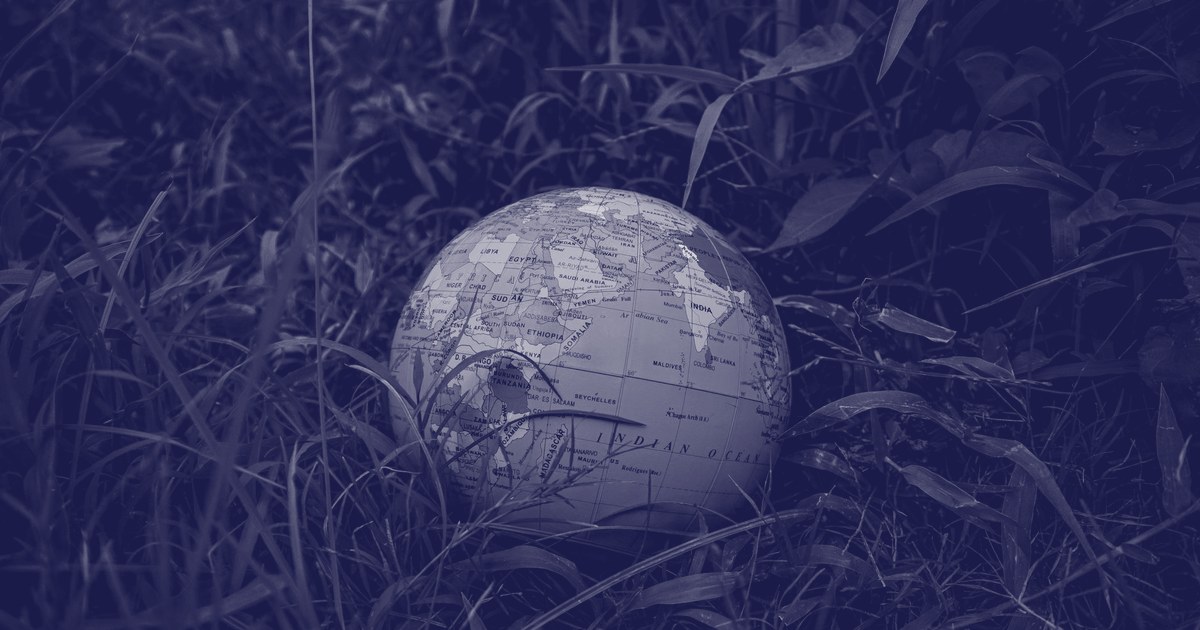
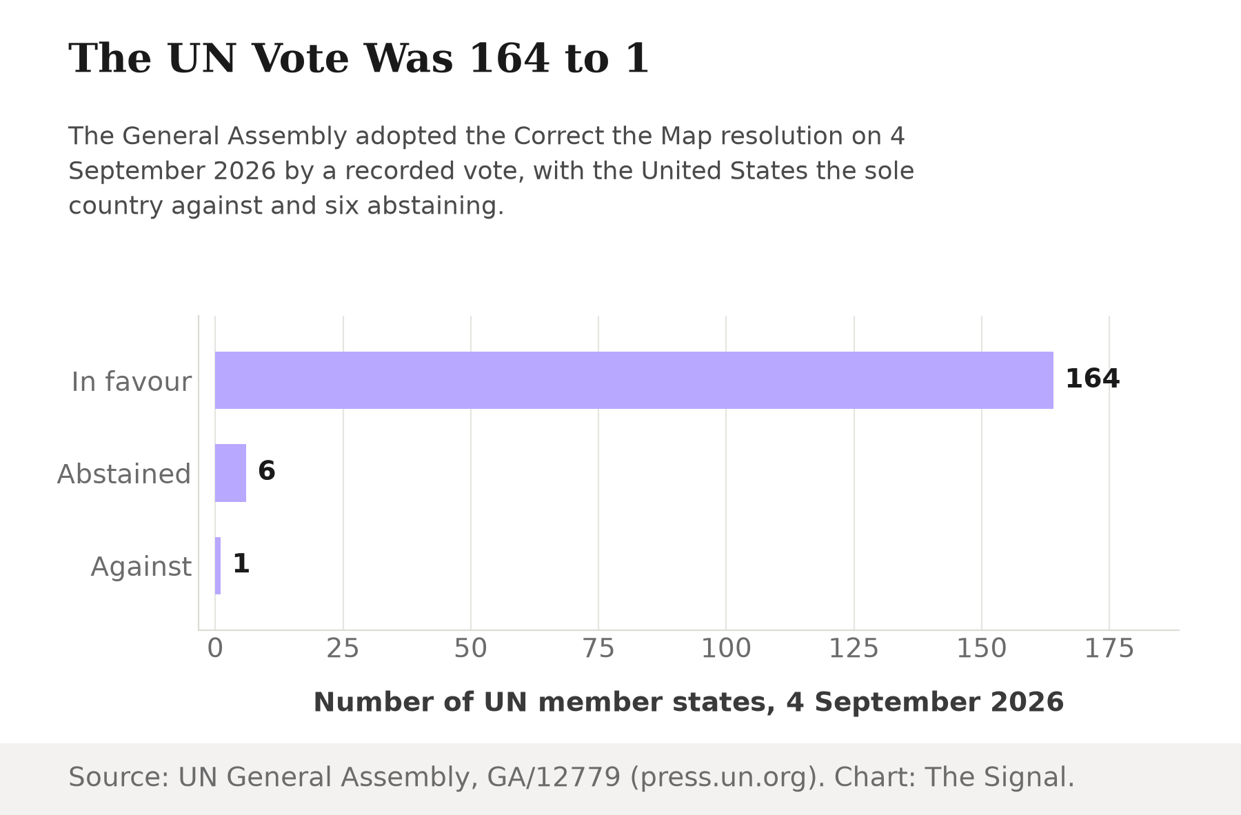
India sits close to the equator, in the same compressed band of the world map as Africa. So does most of the population these maps were supposedly drawn to represent equally. On 4 September 2026, the UN General Assembly voted to do something about that compression. By a recorded vote of 164 in favour to 1 against, with 6 abstentions, the Assembly adopted "Correct the map: rebalancing global cartographic representation and promoting equitable representation of the world's regions, particularly Africa", a resolution that pushes UN bodies away from the Mercator projection, the default world map most people have looked at their entire lives. The lone vote against came from the United States.
It is worth slowing down on what that vote actually targets. This was not a border dispute or a naming fight, the kind of cartographic argument the General Assembly is built to referee. It was a vote over a design choice made 457 years ago for sailors, one that has kept setting the visual proportions of world power ever since.
The map that got the job by accident
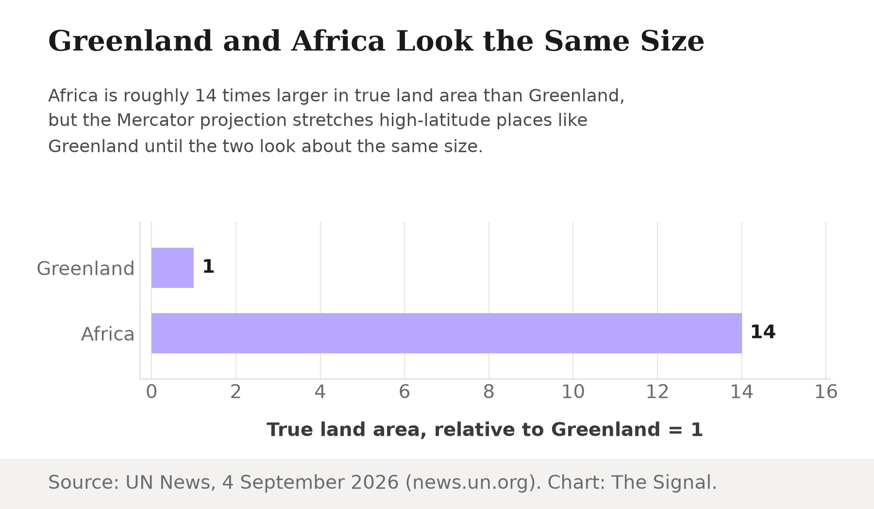
Start with 14. Greenland can look roughly comparable in size to Africa on a standard Mercator map, even though Africa is about 14 times larger in real land area, and northern Europe and North America are magnified in the same way, relative to the equatorial regions they sit far from. Africa is not shrunk by any single error. It just occupies the part of the map the projection was never built to represent fairly. More than three billion people, roughly 43% of the world's population as of 2022, live in the Tropics, the equatorial band the Mercator map renders closest to true scale while it inflates everything above and below it. This is a projection default, not a fringe distortion, and it undersells the visual weight of nearly half the planet's people.
That "never built to" is the actual mechanism, and it is a case of a virtue turning into a liability. Gerardus Mercator's 1569 world map was designed around the needs of maritime navigation, and its central trick was genuinely useful at sea: a straight line drawn on the map holds a constant compass bearing, so a ship's navigator could plot a course with a ruler instead of constantly recalculating angles. Holding that property everywhere on a flat map has a cost. It forces land areas to stretch as they move away from the equator, and the stretching compounds toward the poles. A tool built to keep bearings honest for sailors, adopted centuries later as the default picture of the world for classrooms, news graphics and diplomacy, keeps its bearings and quietly loses its proportions.
What the resolution actually changes
The practical shift is which projection UN bodies reach for by default. Switching from Mercator to the Equal Earth projection the resolution promotes makes Africa appear bigger while shrinking North America and Europe on the world map, because Equal Earth preserves relative area instead of preserving bearing lines. What the resolution does not touch is any political line on the map. In its explanation of vote, the European Union stressed that the resolution "neither addresses nor affects questions relating to sovereignty, territorial status, delimitation, or the internationally recognized borders of States". The vote was about proportion, not possession.
The 4 September 2026 vote broke down as follows.
| Result | UN member states | Named in the record |
|---|---|---|
| In favour | 164 | Not individually listed |
| Abstained | 6 | Estonia, Georgia, Lithuania, Republic of Moldova, Serbia, Ukraine |
| Against | 1 | United States |
Source: UN General Assembly plenary vote record, GA/12779.
Who pushed it
The campaign had a clear author. Togo led the African Union's campaign to limit use of the Mercator map, turning a complaint cartographers have made for decades into a formal General Assembly text. When it passed, African Union Commission Chairperson Mahmoud Ali Youssouf welcomed the resolution's adoption, saying "Africa must be represented as it truly is: in its true dimensions and in its rightful place in the world". That framing treats the map itself as a rank ordering: a continent drawn small reads as a continent that matters less, whatever the resolution's text says about borders.
The honest objection
The strongest case against the resolution is not really about maps. The US ambassador cast the sole opposing vote, calling the effort "an anodyne effort to update cartographic proportions" that was really part of "the much larger and more radical ideological project it belongs to". Stripped of the specific target, that is a coherent worry: a body that spends floor time and a recorded vote on a map projection has decided that symbolism belongs on its formal agenda, and today's symbolism is tomorrow's precedent for litigating other representations.
That case is real, but it proves too much to explain a 164-to-1 result. If the resolution were truly the spearhead of a genuinely contested ideological campaign, the honest expectation is a fight, blocs peeling off, abstentions clustering by alliance. Instead six abstentions scattered across states with no obvious alignment on this question, and one no vote stood alone against every other member state that showed up to vote. A near-unanimous General Assembly is not evidence of an uncontroversial idea forced through by ideology. It is evidence that, once asked directly, almost no government wanted to be on record defending a 16th-century navigation tool's right to keep distorting the modern map.
The Signal
Strip away the vote count and the resolution does one narrow thing: it retires a default, moving the organisation's own maps off a projection optimised for a problem, holding a compass bearing, that stopped being anyone's daily problem generations ago. It does not redraw a border, reassign a territory, or settle a single dispute the EU's explanation of vote didn't already rule out. What it does is remove the last official cover for treating a navigational shortcut as a verdict on whose continent looks big. The number worth remembering is 14, not 164. A vote tally can be revisited. A map that has been telling a reader that Africa and Greenland are the same size, when one is fourteen times the other, has been shaping assumptions since long before anyone in this vote was born.
Reporting basis: the vote tally, resolution title and the list of abstaining states are from the UN's official Meetings Coverage of the General Assembly plenary, GA/12779. The Greenland-to-Africa size comparison and the description of poleward magnification are from UN News, the UN's own news service. The Tropics population share is from the UN Academic Impact programme, citing the State of the Tropics research consortium. The Mercator projection's 1569 navigational design and its accuracy are assessed in a peer-reviewed paper in The Journal of Navigation, published by Cambridge University Press. The European Union's explanation of vote is from its delegation to the UN. The US ambassador's on-record objection is as reported by The National; the Equal Earth projection's effect on Africa, North America and Europe by the South China Morning Post; Togo's role leading the African Union's campaign by Al Jazeera; and the AU Commission Chairperson's welcoming statement by The Tribune. Each of those four is a single reporting source for its quoted claim.